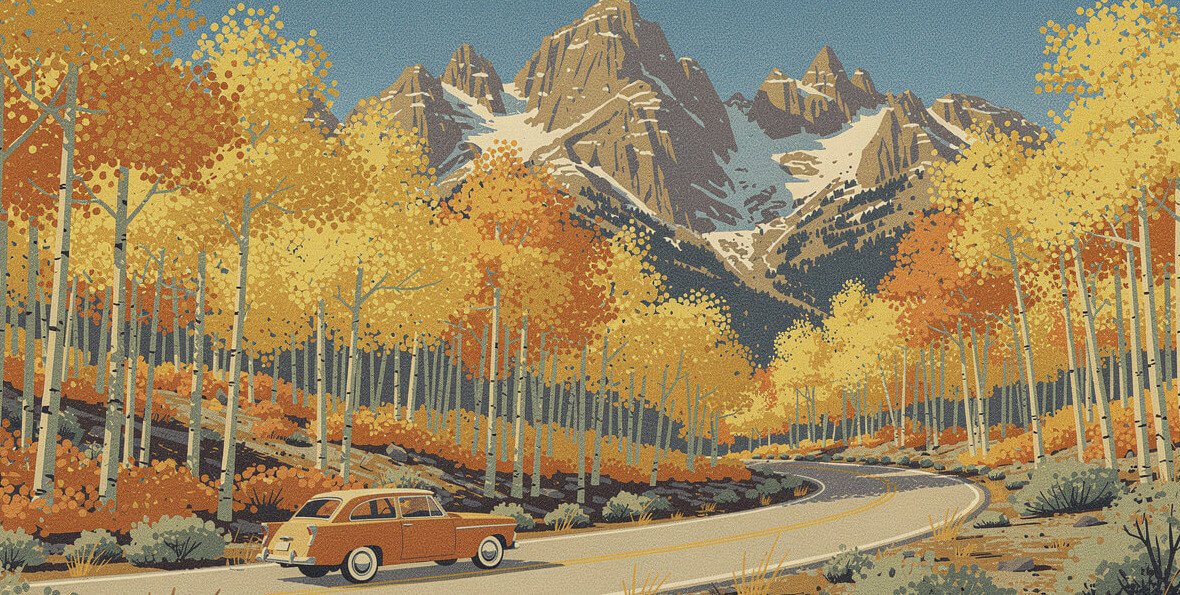
Eastern Sierra fall colors: the 7 best drives, ranked
The best of the Eastern Sierra fall colors is Bishop Creek Canyon, and it isn’t especially close. Highway 168 climbs out of Bishop into three forks of the same canyon, and each fork ends at a lake ringed with aspen. Nothing else on 395 gives you that much color in one drive. Below are the 7 drives worth the gas, ranked, with the reasoning, the elevation, and the detail that keeps you from circling a full lot at 9,000 feet.
One note before the list: this is a moving target. The color starts at the top of the canyons in mid-September and works its way down through October, so the right drive depends on the week. Ranking says where to go when everything is on. The timing section says where to go this weekend.
How Eastern Sierra fall colors move: the elevation rule
The Eastern Sierra fall color show runs on altitude, not the calendar. Aspens near 10,000 feet turn first, usually by mid-September. The color then slides downhill, canyon by canyon, through October. The Owens Valley cottonwoods around Bishop at about 4,150 feet go last. Inyo County describes the region as spanning roughly 5,000 to 10,000 feet, which is why the wave of color literally moves down the mountainsides.
That gives you a simple rule. Early in the season, drive to the top. Late in the season, stay low. If you show up in mid-October and drive straight to South Lake, you may find bare branches and a cold wind. Stop halfway down and you’ll find the color you came for.
The trees doing the work
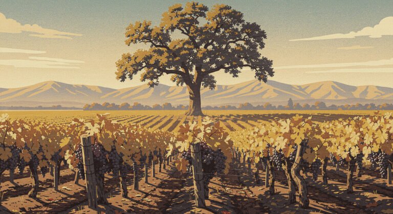
Almost all of it is quaking aspen: the white-trunked trees whose leaves go yellow, then gold, then orange, and sometimes a deep red where the soil and the cold line up. Willows along the creeks turn orange and burgundy at the edges. Down in the valley, the big Fremont cottonwoods turn butter yellow along the rivers. Mono County calls out the century-old cottonwoods along the West Walker River north of Bridgeport.
Check the report before you drive
Mono County Tourism posts a fall color report every Wednesday through the season, with each spot rated from “just starting” to “go now” or “past peak.” The California Fall Color site posts reports from photographers in Bishop Creek and up and down 395. Read both on Wednesday night and plan Thursday. A strong wind can strip a grove in an afternoon, and a report from ten days ago is a rumor.
Where it stands right now (as of the September 30 Mono County report): Virginia Lakes and Rock Creek Lake were at 75 to 100 percent, a “go now.” Monitor Pass, Lundy Canyon, Sonora Pass, and Tioga Pass were near peak. June Lake, Convict Lake, Twin Lakes, and Lee Vining Canyon were still patchy. Bishop Creek was rated near peak in late-September reports from the canyon, with wind already working on the high groves.
1. Bishop Creek Canyon (Highway 168): the best Eastern Sierra fall colors drive
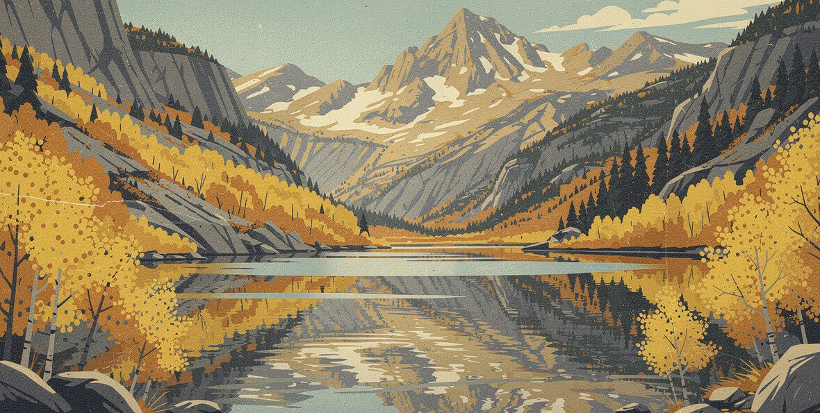
Highway 168 leaves Bishop heading west and climbs straight into the mountains. Partway up, the road splits. The South Fork goes up South Lake Road to South Lake at 9,768 feet. The Middle Fork continues on 168 past Cardinal Village and Aspendell to Lake Sabrina at roughly 9,150 feet. A narrow side road off the Middle Fork climbs to North Lake.
Why it’s #1: length and variety. Inyo County calls South Lake Road one of the longer uninterrupted stretches of colorful trees in the region, and it is. You drive through aspen for long minutes at a time. Then you double back and do the Middle Fork, which looks completely different: granite walls, a reservoir, and groves stacked up the slopes above the water. Two drives, one canyon, and both of them end at a lake. No other road on this list gives you that much.
The stops, bottom to top
- South Fork: Mist Falls, Surveyor’s Meadow, Parchers Resort, Weir Pond, and South Lake itself. The groves around Surveyor’s Meadow and Parchers are usually the ones people come home talking about.
- Middle Fork: Cardinal Village, Aspendell, and Lake Sabrina. The groves above Cardinal Village sit lower and tend to hold on after Sabrina has peaked.
- North Lake: photographers love it for the aspens against the red rock of the peaks behind. Go only if you’re comfortable on a road that turns into a narrow, one-lane dirt shelf with blind curves, drop-offs, and no guardrails. Turn around if you meet doubt or traffic.
The insider detail for 2026
Lake Sabrina is low this fall on purpose. Southern California Edison is retrofitting the dam’s spillway, with the reservoir drawn down by about 18 feet and work scheduled to wrap by October 30. The access trail, day-use parking, and the dam embankment close intermittently while crews work. Treat Sabrina as a bonus this year, not the destination, and put your time into the South Fork.
Parking is the whole game up here. Pullouts are small and fill fast on weekends. The canyon’s own reporters say it plainly: if a spot looks full, go find another one, and never stop in the road for a photo. Go on a weekday, or get up the canyon before 9.
Make a day of it: the best hot springs in the Eastern Sierra are a short drive north of Bishop, and a soak is the right way to end a cold morning at 9,000 feet.
2. Rock Creek Road: the first to turn, and the densest
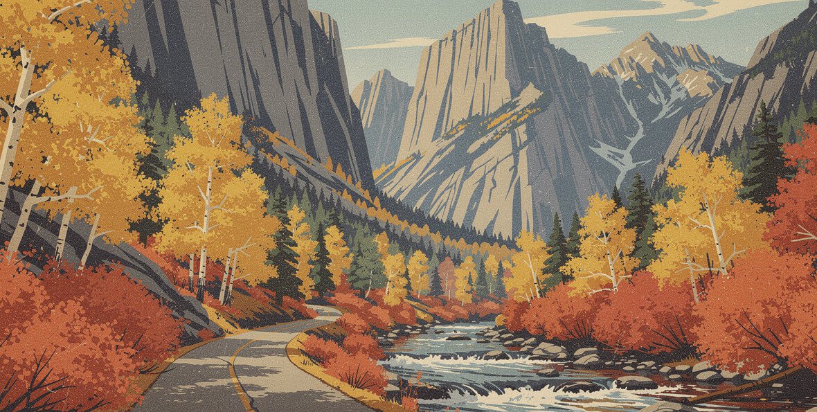
Exit 395 at Toms Place, between Bishop and Mammoth, and turn up Rock Creek Road. Mono County describes it as a paved, two-lane canyon road lined with dense aspen for nine miles, and notes that it’s often where the county’s first aspens turn. It climbs past Rock Creek Lake at 9,600 feet and dead-ends at the Mosquito Flat trailhead, above 10,000 feet.
Why it’s #2: for pure density per mile, Rock Creek might beat Bishop Creek. The trees close in on both sides of the road and the creek runs right beside you. It loses on length and variety. It’s one road, one direction, one canyon. Bishop Creek gives you three.
Why it might be #1 for you this week: because it turns first, Rock Creek is the right call in late September and the first days of October. Rock Creek Lake was at 75 to 100 percent in the September 30 report. By mid-October, the top half is usually done and the color has dropped toward Toms Place and the lower canyon.
What to know before you go
- Parking at Mosquito Flat is extremely limited, and the county asks people not to park along the road. Use the lot at Rock Creek Lake and walk, or turn around and work the pullouts on the way down.
- Rock Creek Pack Station sits along the upper road. Give stock trailers room.
- Just south of Toms Place, Lower Rock Creek runs down toward the community of Paradise, and its trail through the aspens is one of the area’s best-known mountain bike rides. It’s a second, lower round of color once the upper canyon is done.
3. June Lake Loop (Highway 158): four lakes and a waterfall
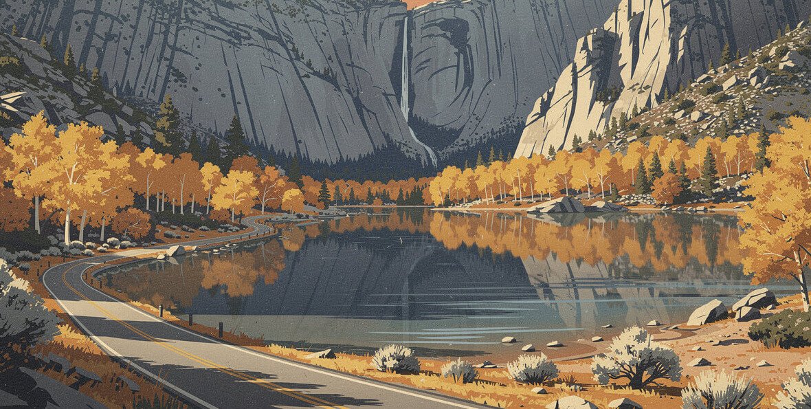
The June Lake Loop is Highway 158, a 15.8-mile horseshoe off 395 between Mammoth and Lee Vining. In one easy drive it passes June Lake, Gull Lake, Reversed Creek, Silver Lake, Rush Creek, and Grant Lake. Aspens line the shorelines, willows go red and burgundy along the creeks, and the granite walls above Silver Lake make the whole thing look like a painting someone overdid.
Why it’s #3: it’s the most complete package on 395. You get water in nearly every view, a village with places to eat, and a paved loop you can drive in an hour or stretch into a day. It ranks below Bishop Creek and Rock Creek because the groves come in patches between the lakes, not in long tunnels.
Where to stop
- Silver Lake: look up. Horsetail Falls drops down the cliffs above the lake and is visible from the area around Silver Lake Resort. The Rush Creek trailhead nearby gets you closer, on foot, toward Agnew Lake.
- Gull Lake: a small lake with an easy shoreline stroll and aspens right at the water.
- Grant Lake: the northern end opens up into sagebrush and big sky. It’s a different kind of color: aspens in patches on bare slopes.
Timing: June Lake sits lower than the canyon tops, at around 7,600 feet, so it was still patchy on September 30 and usually peaks later in October. That makes it the perfect second-weekend trip. If Bishop Creek and Rock Creek are past their best, the June Lake Loop is probably just getting started. The north half of 158 closes in winter, usually mid-December to mid-April, but that’s well after the color is gone.
The Buzz, weekly
Know what's buzzing before everyone else does
One email a week: what's blooming, what's opening, what's worth the drive, and new designs from the shop. No spam. Unsubscribe anytime.
4. Conway Summit and Virginia Lakes Road: the view from the top of 395
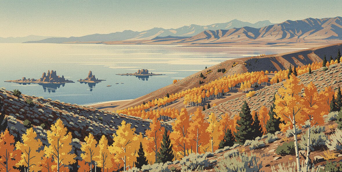
North of Lee Vining, 395 climbs to Conway Summit at 8,143 feet, the highest point on the entire highway. The view back south is the one you’ve seen in photos: aspen slopes in the foreground, sagebrush falling away, and Mono Lake spread out pale blue in the distance. Use the vista point. Don’t stop on the shoulder of a highway with trucks on it.
From the summit, Virginia Lakes Road heads west up to Virginia Lakes, at roughly 9,800 feet. The road runs through some of the best high groves in Mono County. Virginia Lakes was at 75 to 100 percent in the September 30 report, so this is a go-now drive in early October.
Why it’s #4: the summit view is the best single fall-color view from a paved highway in the region, and Virginia Lakes is a great short spur. It ranks below the top three because it’s a short drive and a viewpoint, not a full day of color.
The dirt-road upgrade
Mono County’s suggested fall loop starts on Green Creek Road just south of Bridgeport. It’s a wide, well-graded dirt road that’s usually fine for most cars in good weather. Follow Green Creek through aspen stands, cut over on Dunderberg Meadow Road to paved Virginia Lakes Road, then come back down to 395 at Conway Summit. Green Creek and Dunderberg Meadow were both near peak in late September. Driveways along the way are private; park only where it’s clearly allowed.
Mornings at 9,800 feet in October are cold, and the wind off the crest doesn’t care that it’s sunny. Bring a real layer. The shop doesn’t print a 395 shirt, so the closest thing it has to an Eastern Sierra souvenir is the California Republic June 1846 Bear Flag Revolt Vintage T-Shirt: a sun-faded grizzly that belongs under a fleece at Virginia Lakes.

The California Republic Bear Flag tee
The lone star, the grizzly, and the red stripe from June 1846, printed weathered and sun-faded. It goes under a fleece at 9,800 feet and works anywhere else in the state.
5. Lundy Canyon: the late-season finale
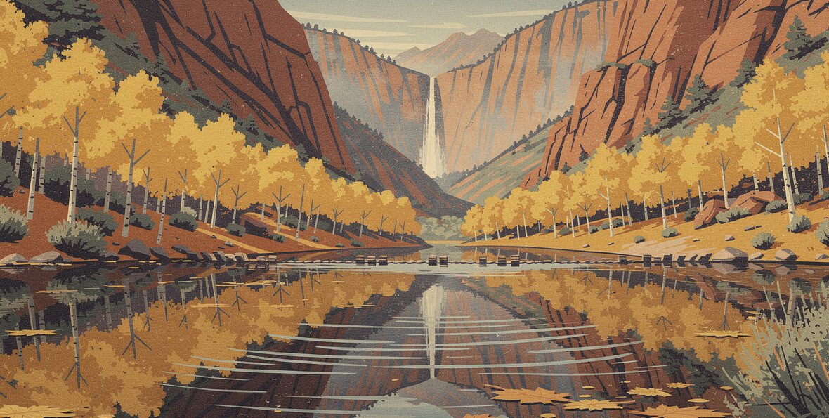
Lundy Canyon Road leaves 395 just north of Lee Vining and runs west, paved, to Lundy Lake at about 7,850 feet. Past the lake it turns to dirt and continues to a string of beaver ponds and the trailhead at the end of the road. The trail up the canyon goes through thick aspen groves to waterfalls and more beaver dams. Mono County puts the hike at 4 to 6 miles and moderate.
Why it’s #5: the drive itself is short. Lundy is really a drive-to-a-walk, and the best color is on foot past the ponds. But when it’s on, it’s as good as anything on this list: gold aspens doubled in still water, with red canyon walls above. It ranks here because you need to time it and walk it.
Timing: Lundy runs later than the high canyons, and it’s often the last big show of the season, peaking in early to mid-October. It was near peak on September 30. Get there early. The beaver ponds are mirror-flat before the wind picks up, and the parking at the end of the road is small.
6. Monitor Pass (Highway 89) and Hope Valley: the quiet one
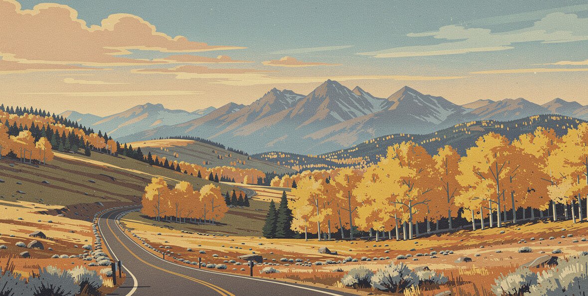
Monitor Pass is Highway 89 between 395 near Topaz and Markleeville, in Alpine County, over the top at 8,314 feet. It doesn’t look like the rest of this list. Instead of granite canyons, you get rolling high sagebrush country with huge aspen groves tucked into the folds of the hills. On a clear October afternoon, the whole slope can light up at once.
Keep going on 89 past Markleeville to Picketts Junction and you’re in Hope Valley, where Highway 88 crosses the meadows. The aspens around Sorensen’s Resort and along the West Carson River are a Tahoe-side favorite. The Carson Pass folks describe the color starting high in early September and working down over about two months, so Hope Valley often has color after the passes are done.
Why it’s #6: it’s the farthest north and the farthest from the Bishop–Mammoth base most people use. For a Reno, Tahoe, or Carson Valley driver, it might be #1. It also sees a fraction of the traffic of Bishop Creek. Monitor Pass was near peak on September 30. The road generally closes for winter from late November to early April.
Heads up: Caltrans is resurfacing a stretch of 395 near Topaz this week, with one-way traffic control and delays of up to 20 minutes. Check Caltrans QuickMap before you go. The same goes for any 395 trip in fall, since crews use the shoulder season for road work.
7. Convict Lake and McGee Creek: the short detours

Both of these turn off 395 between Toms Place and Mammoth, a few miles apart, and both are short. Convict Lake Road runs to a lake at about 7,850 feet under Mount Morrison and Mount Laurel, and the aspens cluster at the far west end of the lake. A loop trail of about 2.5 miles goes around the water, and it’s the best way to see the groves up close. McGee Creek Road climbs into McGee Creek Canyon, at about 8,600 feet, and ends at a trailhead lot.
Why they’re #7: they’re detours, not drives. Ten or fifteen minutes off 395, a great view, and back on the highway. The color at Convict is in one beautiful band, not along the road. As a stop between Bishop and Mammoth they’re great. As a reason to drive from Los Angeles, they aren’t.
Timing: both were still patchy or just starting at the end of September, so they’re good picks for mid-October, after the high canyons have peaked.
Planning your Eastern Sierra fall colors trip
Pick a base
Bishop puts you closest to Bishop Creek and Rock Creek. Mammoth Lakes sits in the middle, near Convict, McGee, Rock Creek, and the June Lake Loop. Lee Vining and Bridgeport cover Lundy, Conway Summit, Virginia Lakes, and Green Creek. If you only have a weekend, base in Bishop early in the season and in Lee Vining or June Lake later. That follows the color’s own schedule.
The rules that keep the canyons open
- Never stop in the road. Use pullouts, and if they’re full, keep driving.
- Don’t park on vegetation or block driveways, gates, or trailheads.
- Don’t carve your name into an aspen. The scars are permanent and they’re on every popular grove.
- Weekdays are quieter everywhere. Early mornings are calmer, too, and the light on the groves is better.
Gas, layers, and signal
Fill up in Bishop, Mammoth, Lee Vining, or Bridgeport before you head up a canyon. Cell signal disappears quickly once you leave 395, so download your map. And bring layers: it can be warm in the Owens Valley and genuinely cold at a lake 5,000 feet higher, on the same morning.
If you’re making a full fall circuit of the state, we’ve also ranked the best apple orchards in Oak Glen and the best pumpkin patches in Half Moon Bay.
Eastern Sierra fall colors FAQ
When is peak fall color in the Eastern Sierra?
There isn’t one peak. There’s a wave. The highest groves (South Lake, Rock Creek Lake, Virginia Lakes) usually turn from mid-September into the first days of October. Mid-elevation spots like June Lake, Lundy Canyon, Convict Lake, and McGee Creek usually follow in early to mid-October. The cottonwoods in the Owens Valley go last, later in October. Some years the color hangs on into November.
What’s the single best drive for Eastern Sierra fall colors?
Bishop Creek Canyon on Highway 168, if the timing’s right. It has the most color, the most variety, and three lakes. If you’re late in the season, swap it for the June Lake Loop.
Do I need a high-clearance vehicle?
Not for the top drives. Highway 168, Rock Creek Road, the June Lake Loop, Virginia Lakes Road, and Monitor Pass are all paved. North Lake Road, the end of Lundy Canyon Road, and Green Creek and Dunderberg Meadow roads are dirt. Green Creek is usually fine for most cars in dry weather. North Lake is a narrow shelf road, and that’s about nerves, not clearance.
Is there a fee to see the fall colors?
None of the drives on this list has an entrance station. Campgrounds, resorts, and some day-use areas can charge their own fees, so read the posted signs where you park.
How do I know if a spot is peaking right now?
Read the Mono County fall color report (updated every Wednesday) and the latest posts on California Fall Color. Both rate spots by percent of color, and both will tell you when a grove is past peak, which is the most useful thing to know before you drive four hours.
If you only do one
Drive Highway 168 out of Bishop on a weekday morning, take South Lake Road first, and stop at Surveyor’s Meadow and Parchers on the way up. Come back down, turn onto the Middle Fork, and look at the groves above Cardinal Village. Be back in Bishop for lunch. That’s the best Eastern Sierra fall colors drive, and two hours of it beats two days of chasing every grove on 395.
If the reports say the canyon tops are done, don’t fight it. Go north to the June Lake Loop and Lundy Canyon, where the season ends. Either way, go soon. The aspens don’t wait, and neither does the wind.
Before you go
Get the next ranking in your inbox
We write one of these every day. The best of them, plus whatever California is texting about this week, lands in one short email.