
Route 66 in California at 100: Needles to the Santa Monica Pier
Route 66 in California turns 100 on November 11, and the best way to celebrate is the oldest one: drive it. The California stretch runs about 315 miles from the Colorado River at Needles to the Pacific at Santa Monica, and almost none of it looks like the postcard. It’s lava fields and timber bridges, a 1911 railroad hotel in Barstow, concrete wigwams on Foothill Boulevard, and a pier sign that marks an ending the road never officially had.
This is a scene report, not a checklist. Here’s what Route 66 in California actually is in its centennial year, what’s still standing, what’s open (and what isn’t yet), and how to drive it this fall without getting stuck behind a closed bridge in the Mojave.
Route 66 in California, the short version
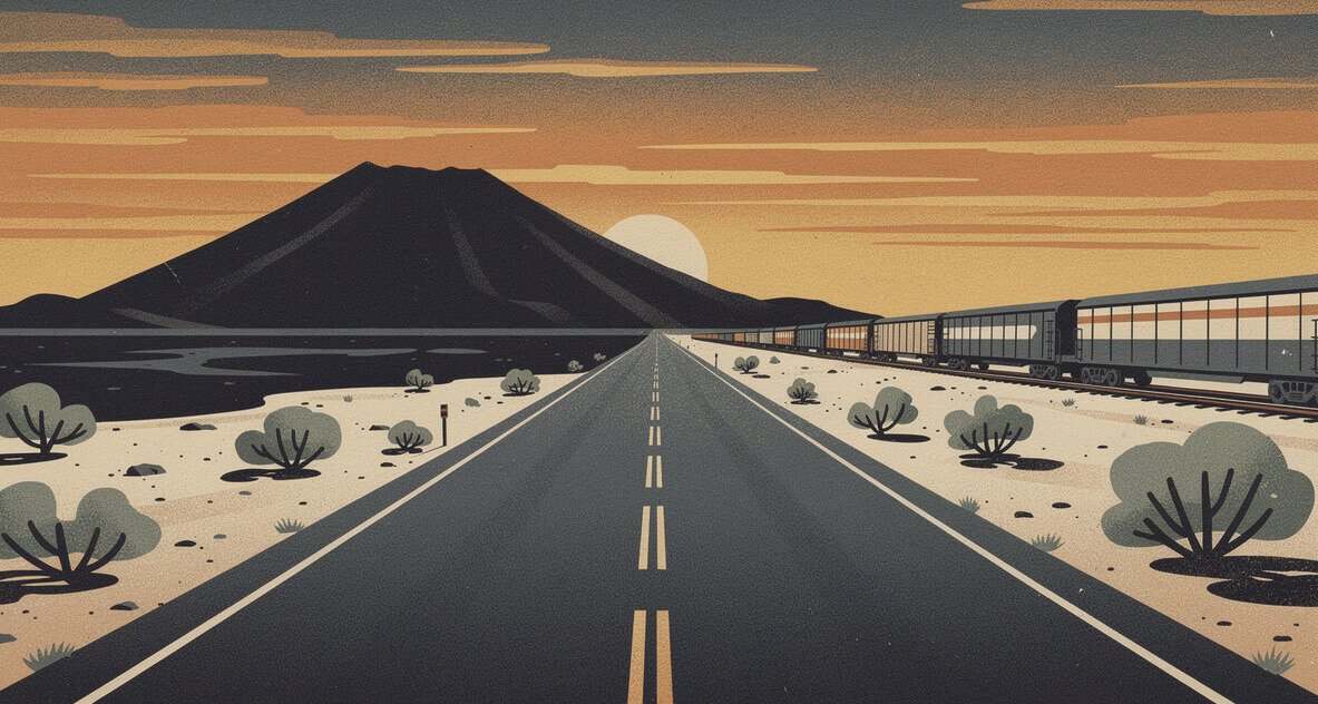
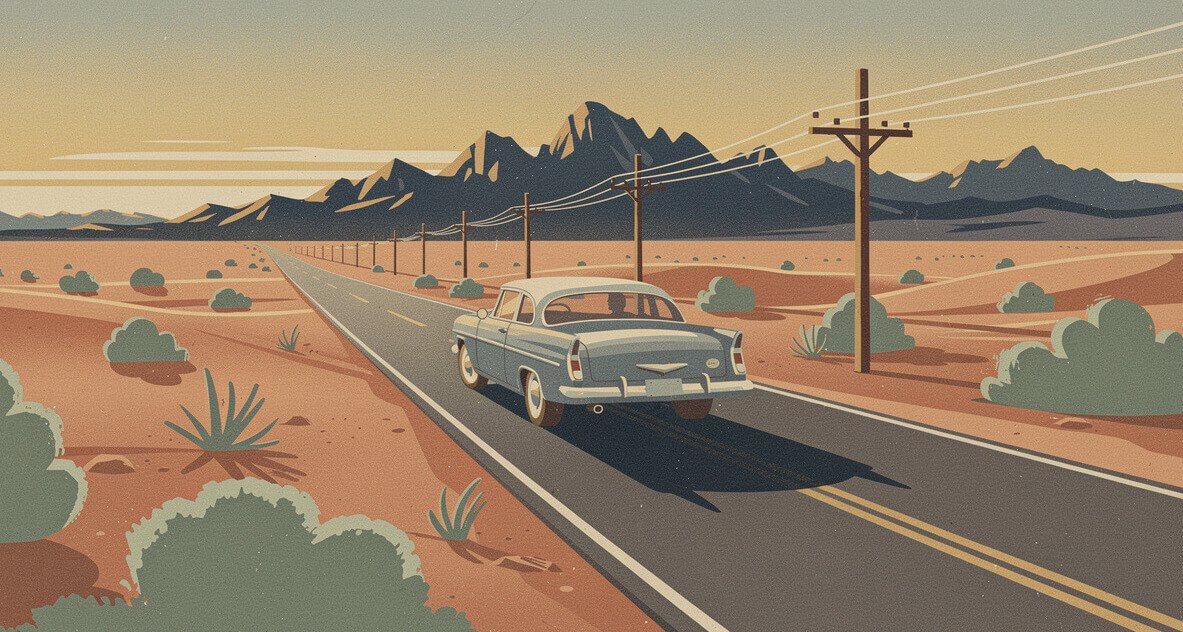
On November 11, 1926, the road from Chicago to Los Angeles was officially designated U.S. Highway 66: 2,448 miles across eight states. California got the last and hardest piece. You come in over the Colorado River, cross close to 150 miles of open Mojave with very little in between, climb out through Cajon Pass, and then grind through the better part of 100 miles of Inland Empire and Los Angeles traffic before you finally smell salt.
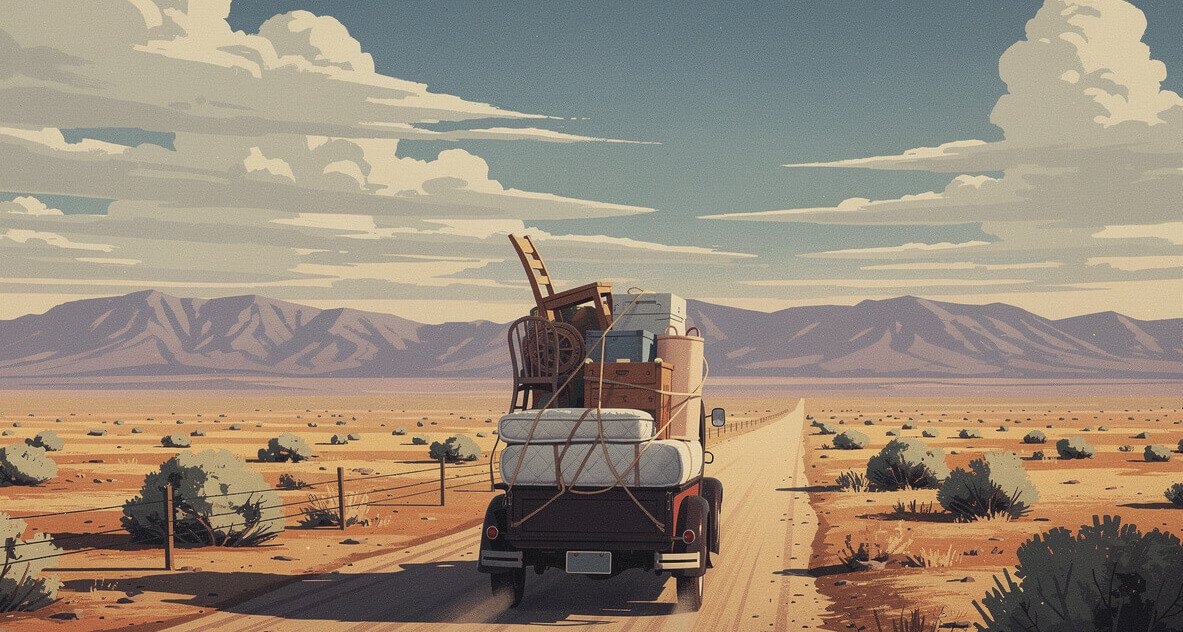
The road got its nickname in 1939. In chapter 12 of The Grapes of Wrath, John Steinbeck writes, “66 is the mother road, the road of flight.” He meant the Dust Bowl families pouring west toward the farm valleys, and for a decade that’s what this highway mostly carried: people who had sold everything that didn’t fit on a truck. After the war it carried everyone else. Vacationers, servicemen, families with a new car and two weeks off, all headed for the ocean.
A detail most people get wrong: the 1926 road didn’t end at the beach at all. Its original western terminus was 7th and Broadway in downtown Los Angeles. It was extended to Santa Monica in the mid-1930s, ending at Lincoln and Olympic boulevards, a few blocks inland from the pier everyone photographs.
Then the interstates arrived. California pulled the US 66 number in its big 1964 highway renumbering, the shields came down over the following decade, and the route was decertified nationally in 1985. In California, the 40 and the 15 swallowed most of the traffic. What they left behind is why the drive is good now. The towns the freeway skipped mostly froze in place, and some of them are slowly coming back to life.
The comeback has paperwork behind it. The 178 miles from the Arizona line to Barstow were designated a National Scenic Byway in 2021, after years of work by the California Historic Route 66 Association and the Bureau of Land Management. And in 2026, every town on the route is throwing the road a birthday party.
Needles to Amboy: the empty part of Route 66 in California
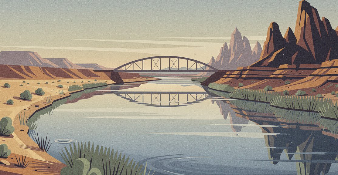
Needles is where the road enters California, and it doesn’t ease you in. This is one of the hottest towns in the country. Its record high is 125°F, and July afternoons usually land somewhere past 110. Cool off in the Colorado River if you need to, then go look at the El Garces, the 1908 Harvey House that once ran as a railroad hotel until 1949. The city restored it, reopened it in 2014 as a train and transit stop, and it’s a handsome building to walk around even when the inside isn’t open.
West of town the old road peels away from the 40 and heads north to Goffs, where a Mission-style one-room schoolhouse from 1914 still stands. The Mojave Desert Heritage & Cultural Association runs it as a museum. The grounds are scattered with mining and railroad relics, and it’s the best history stop on the whole desert stretch.
Past Goffs, you’re in Mojave Trails National Monument: about 1.6 million acres of BLM land designated in 2016. It wraps around roughly 105 miles of Route 66 between Needles and Ludlow, the longest undeveloped stretch left anywhere on the route. No billboards, no strip malls, just creosote, railroad, and the occasional freight train that takes three full minutes to pass.
The road status you need to know
Here’s the part the old guidebooks miss. San Bernardino County maintains about 150 miles of this road, now signed as National Trails Highway, and much of it rides on timber bridges from the 1930s. Flash floods have knocked out sections more than once. The stretch around Essex, east of Amboy, has been closed since flood damage in 2017, and a replacement of 10 bridges near Amboy started in December 2025 and runs into 2027. You can’t drive Needles to Amboy straight through on the old road right now. Plan on using the 40 for part of that leg, and check the county’s National Trails Highway closure page the week you go.
The bridges also carry weight limits, some as low as 3 tons. That’s fine for a car. It’s not fine for a big RV or a trailer, so don’t tow out here.
Amboy, Ludlow, and Newberry Springs: Roy’s and the crater
If you only stop once in the desert, stop in Amboy. Roy’s Motel & Café opened here in 1938, and its boomerang-shaped sign went up in 1959. The whole town (about 950 acres) has belonged to the Okura family since 2005, and they’ve been bringing it back piece by piece. Right now the gas pumps and a gift shop in the old café are open. The café kitchen and the motel cottages are not, not yet. The family’s latest target for overnight guests is the end of 2026. So come for the photo, the cold drink, and the gas, and don’t plan a meal or a bed around it.
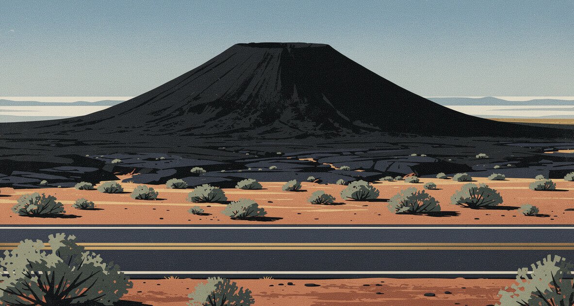
Just west of town is Amboy Crater, a nearly perfect black cinder cone about 250 feet high and 1,500 feet across. It’s been a National Natural Landmark since 1973. Lava from it covers about 24 square miles of desert, and the BLM points out it sits roughly 66 miles from both Barstow and Needles, which is the kind of coincidence this road is full of. There’s a parking lot, a vault toilet, and an overlook, and the trail to the rim is a few miles round trip over loose cinders. Go early. There’s no shade and little to no cell service, and the BLM warns about the heat for good reason.
Heading west from Amboy toward Ludlow, the old road is open again. Ludlow is a gas-and-a-café crossroads where the Ludlow Cafe still serves road food to people who timed it right.
Then comes Newberry Springs and the Bagdad Cafe. In 1987 it was the Sidewinder Cafe, and Percy Adlon shot his film Bagdad Cafe there. It was a German production, and the café took the film’s name and still draws fans from overseas. Know this before you go: the kitchen is closed for now. It’s open as a drinks, coffee, and souvenir stop while the owners work on reopening the kitchen, and it just got a new roof. Stop anyway. The walls are covered in notes and flags left by people who drove a very long way to stand in this exact room.
Barstow to Victorville: the Harvey House and the bottle trees
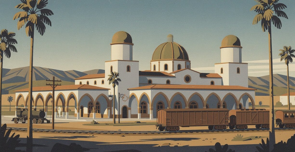
Barstow is where the desert road and the railroad finally meet a real town, and the building that proves it is the Casa del Desierto. It’s the Harvey House that opened on February 22, 1911, with arched colonnades, domed towers, and a deep porch built for a hundred-degree afternoon. It’s on the National Register and is a California Historical Landmark, and it’s still a working building: an Amtrak stop, a visitor center, the Western America Railroad Museum, and the Route 66 Mother Road Museum, which moved in and reopened in 2025. The museum keeps short midday hours, so check before you build your morning around it.
This fall, Barstow is also where the centennial gets loud. The Main Street USA Centennial Festival takes over downtown Main Street on October 9 and 10, with cars, music, and a whole town out on the sidewalks. It’s free.
We love this town enough that it got its own shirt. The Barstow Mojave Desert Route 66 Vintage T-Shirt puts “Barstow” in big sun-cracked western slab letters, which is how the town feels at 3 p.m. in August. It’s our own design, not festival merch.
Southwest of Barstow, the old road follows the Mojave River through Helendale and Oro Grande, and that’s where you find Elmer’s Bottle Tree Ranch. Elmer Long started planting it in 2000: a forest of welded steel “trees” hung with thousands of glass bottles, topped with old signs and found objects. Late in the day the sun comes through the glass and the whole place glows. It’s free, it’s open during daylight, and Elmer’s son Elliot keeps it going. Stand still for a minute and you’ll hear the bottles clink in the wind.
Victorville comes next. It’s where the old road picks back up as a city street before the climb, and the last good place to fill the tank and buy water before the pass.
The Buzz, weekly
Know what's buzzing before everyone else does
One email a week: what's blooming, what's opening, what's worth the drive, and new designs from the shop. No spam. Unsubscribe anytime.
Cajon Pass to Pasadena: Foothill Boulevard and the wigwams
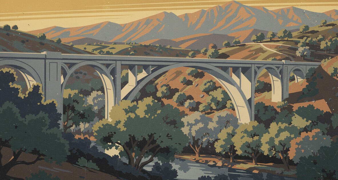
The old road dropped through Cajon Pass on Cajon Boulevard, and today you’ll mostly be on the 15 beside it, watching freight trains crawl the grade. At the bottom, Route 66 came into San Bernardino on Mount Vernon Avenue. Its Mount Vernon Avenue bridge over the rail yards reopened in 2025 after a full renovation, and the city counts it among its most recognizable Route 66 landmarks.
San Bernardino is the busiest centennial town in the state this fall. The 13th Rendezvous Back to Route 66 car show fills downtown on Saturday, October 10, from morning until 9 p.m., and it draws more than 1,200 classic cars. It’s free. On November 7 the city holds a Veterans Salute & Parade combined with its big centennial celebration, four days before the actual birthday.
From there the road turns west on Foothill Boulevard, and long stretches of it through the Inland Empire are still numbered State Route 66. Three stops matter:
- Wigwam Motel, 2728 W. Foothill Blvd, on the Rialto–San Bernardino line. Nineteen concrete wigwams, each about 32 feet tall, set around a pool. The National Park Service dates its opening to 1950, and it joined the National Register in 2012. It’s still a working motel, run by the same family since 2002, and sleeping in one is the single most Route 66 thing you can do in California.
- Cucamonga Service Station, 9670 Foothill Blvd, Rancho Cucamonga. A tiny gas station from 1915, restored and reopened as a museum in 2015. It’s open only a few days a week, so check before you go.
- Aztec Hotel, 311 W. Foothill Blvd, Monrovia. Built in 1925, with Mayan Revival ornament all over the facade, and on the National Register. It’s been closed since 2012, so this is a sidewalk stop. The building is still worth the detour. Old Town Monrovia hosts the Street Rods Forever car show on October 17.
Side trip, since it’s October: the apple orchards in Oak Glen sit in the hills above Yucaipa, a short drive east of San Bernardino, and they’re at peak right now.
Around Arcadia, Foothill turns into Colorado Boulevard and carries you into Pasadena under the San Gabriels. From there, Route 66 ran down the Arroyo Seco Parkway into downtown Los Angeles. It opened in 1940, it’s usually called the first freeway in the West, and it still drives like 1940: short on-ramps, tight curves, and stop signs at the end of the merge. Today it’s the 110. Hold the wheel with both hands.
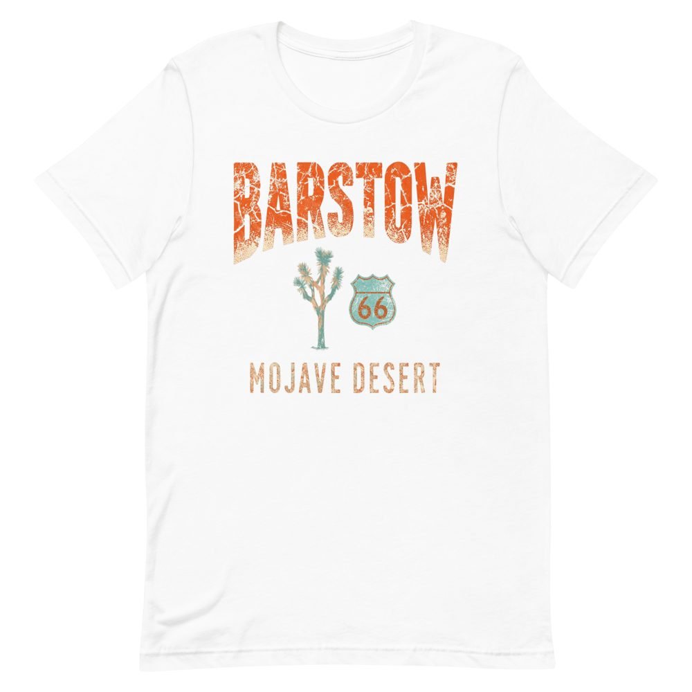
The Barstow Route 66 tee
Barstow in huge western slab letters, faded like a sign that’s been facing the Mojave sun for decades. It’s for anyone who has filled the tank here, bought the extra gallon of water, and kept driving.
Santa Monica: the end of the trail that isn’t
From downtown, the road ran out Sunset Boulevard and then Santa Monica Boulevard all the way to the coast. That last 15 miles is the slowest part of the whole drive, and it’s all city: Echo Park, Silver Lake, Hollywood, West Hollywood, Beverly Hills, and finally Santa Monica. Do it on a weekday morning or a Sunday, never a Friday afternoon.
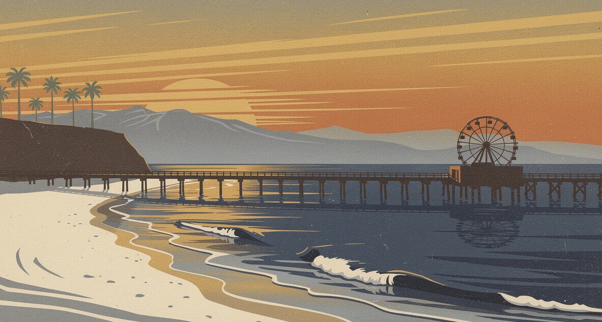
Then the pier. The famous “End of the Trail” sign there is a replica, dedicated on November 11, 2009. It honors the popular belief that Route 66 in California ended at the pier. It didn’t. The official western end was the corner of Lincoln and Olympic, a short walk inland, and there’s nothing to see there except a busy intersection. The sign is right about the feeling and wrong about the address, and on a road this mythologized, that’s probably correct.
Take the photo anyway. Everybody does. Then walk to the end of the pier and look west. After 315 miles of desert, mountains, and Foothill Boulevard traffic lights, you’ve run out of road. That moment is what the whole drive was for, sign or no sign.
How to drive Route 66 in California this fall
When is the best time to drive Route 66 in California?
October through April. Needles has hit 125°F, and the desert stretch has long gaps with no shade, spotty cell service, and timber bridges a long way from a tow truck. Fall is the sweet spot: the heat breaks, the light goes gold by 4 p.m., and in 2026 the centennial events stack up through early November. Summer is for people who already know the desert and carry a lot of water.
How long does it take to drive Route 66 in California?
You could rush the whole California stretch in a single long day, but don’t. Two days is right. Spend day one on Needles to Barstow (the desert, Amboy, the Bagdad Cafe) and sleep in Barstow or Victorville. Spend day two on Cajon Pass to Santa Monica, with lunch on Foothill and sunset on the pier. Three days lets you sleep in a wigwam.
Which direction should I drive?
East to west, if you can. That’s the direction of the history, the direction of the Joads, and the direction that ends at the ocean instead of in Needles. Driving it backward is fine. It just ends with a rental return instead of a sunset.
Is all of Route 66 in California open?
No. Between Needles and Amboy, parts of National Trails Highway are closed or under construction through at least early 2027, and you’ll use the 40 for part of it. From Ludlow west, you can stay on the old road. Check San Bernardino County Public Works for current closures before you leave, because they change.
What should I bring?
A full tank out of Needles and Barstow, a gallon of water per person, and offline maps. Bring cash for the small places too. Leave the trailer at home because of the bridge weight limits.
What’s happening for the centennial?
The confirmed California dates this fall: the Main Street USA Centennial Festival in Barstow (October 9 and 10), the Rendezvous Back to Route 66 car show in downtown San Bernardino (October 10), Street Rods Forever in Old Town Monrovia (October 17), and San Bernardino’s Veterans Salute & Parade and Centennial Celebration (November 7). The birthday itself is Wednesday, November 11.
If you only drive one stretch of Route 66 in California
Drive Ludlow to Amboy and back, with Barstow as your base. It’s open, it’s empty, and it packs the whole California road into about 60 miles: the cinder cone, the sign, the timber bridges, the railroad running beside you, and a sky big enough to make the 40 feel like a rumor. Add the Bagdad Cafe on the way out and the Harvey House on the way home, and you’ve seen the part of Route 66 in California that the freeway couldn’t erase.
If you’ve got the full two days, do the whole thing in order and end at the pier. If you’ve got a long weekend this month, it’s also fall color season on the Eastern Sierra drives, and you can pick up US 395 from Barstow by way of Highway 58. And if you’d rather hit small towns where the Gold Rush is still on the storefronts, Gold Country’s best small towns are ranked here.
The road is 100 years old next month. Go say happy birthday.
Before you go
Get the next ranking in your inbox
We write one of these every day. The best of them, plus whatever California is texting about this week, lands in one short email.
One Comment